Xcalibur Smart Mapping to Conduct Large-Scale Airborne Geophysical Survey in Uzbekistan
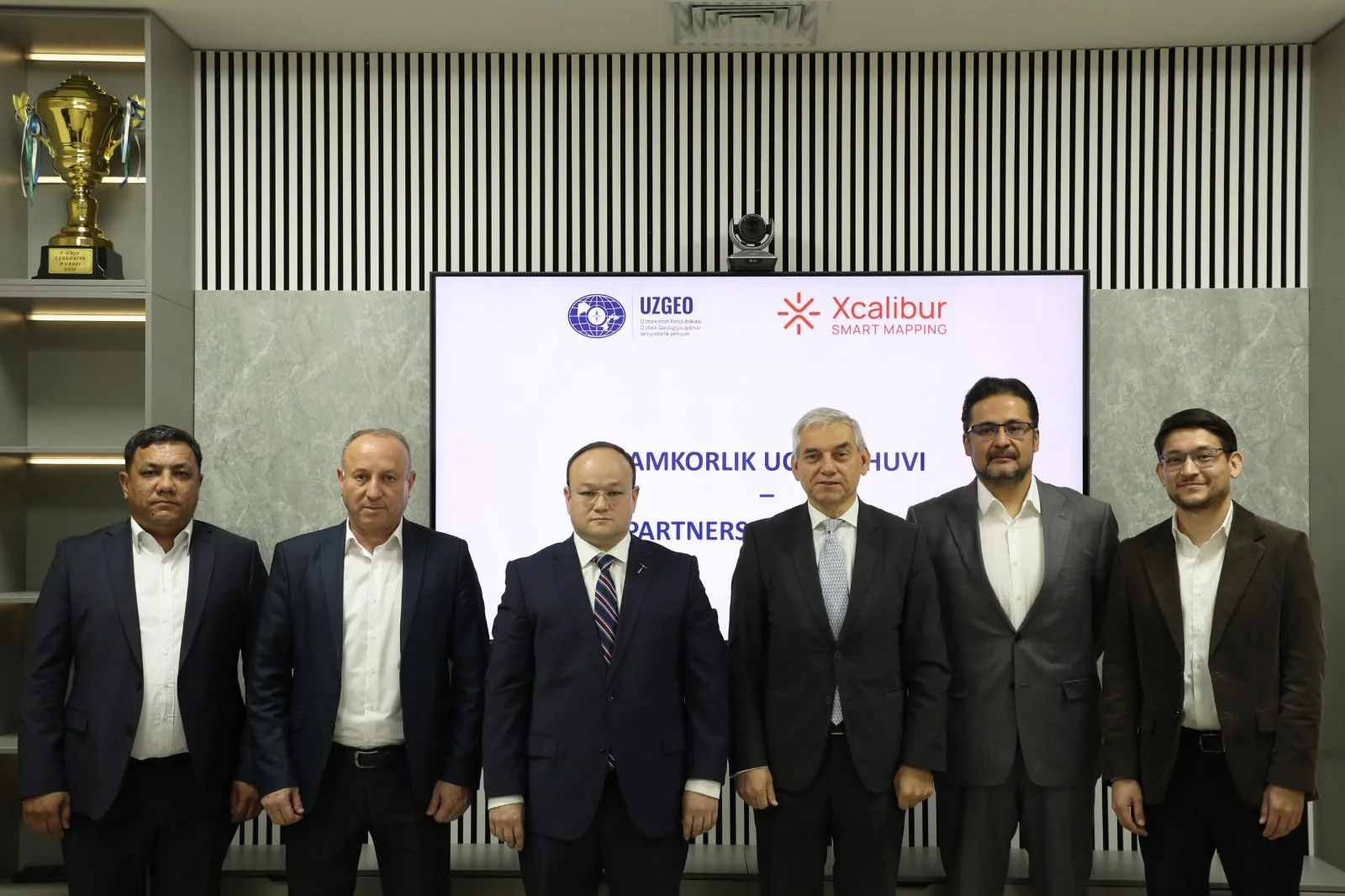
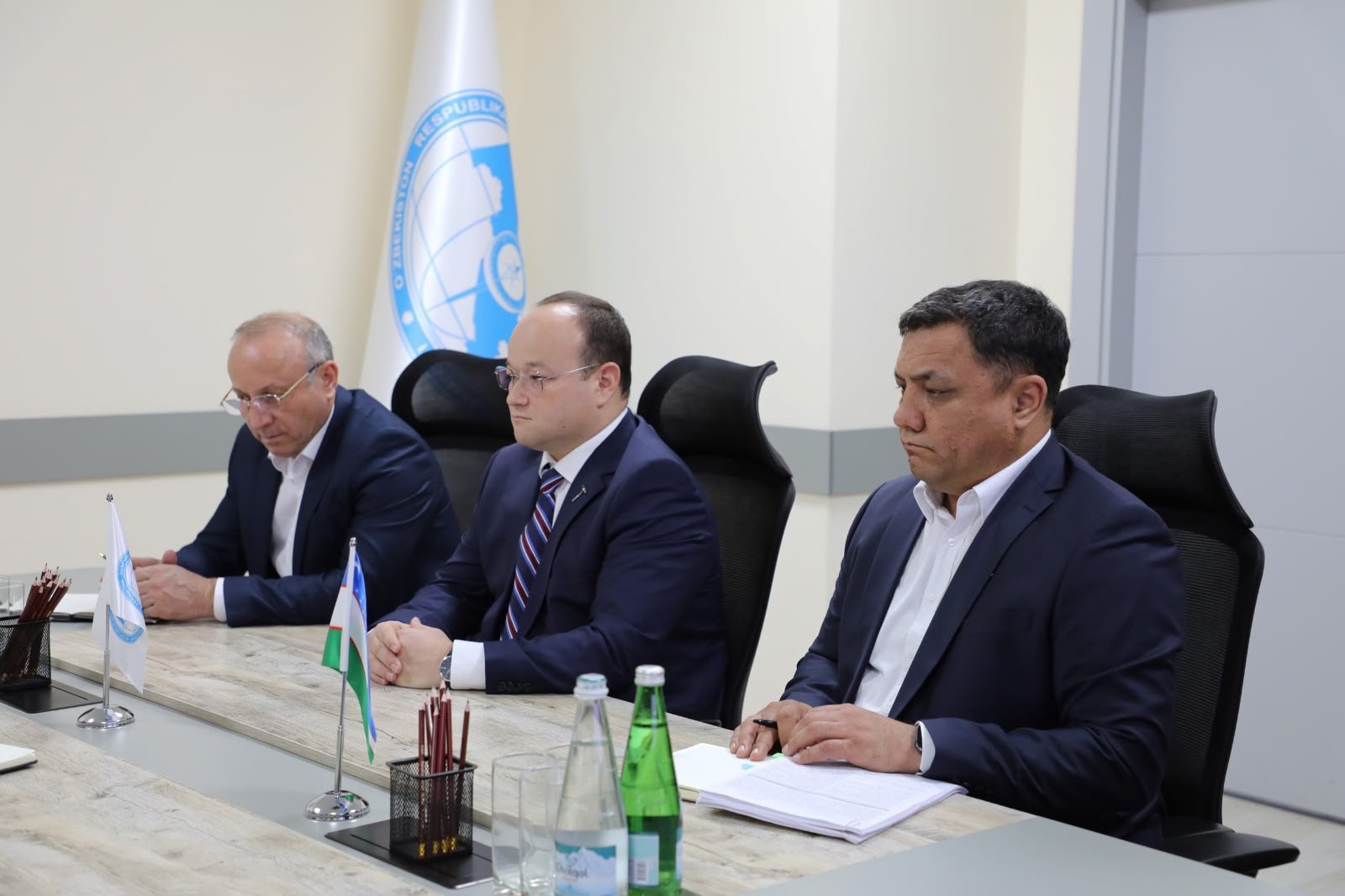
Xcalibur Smart Mapping will carry out an airborne geophysical mapping programme for Uzbek Geological Exploration JSC. The survey will cover around 80,000 km², roughly one fifth of the country, and will be the first project of its scale in Central Asia.
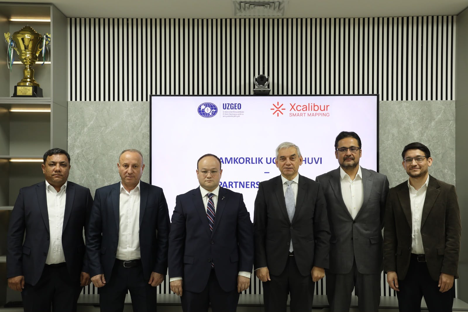
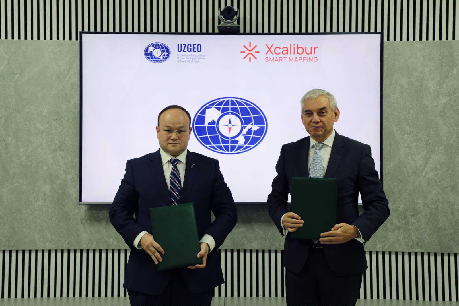
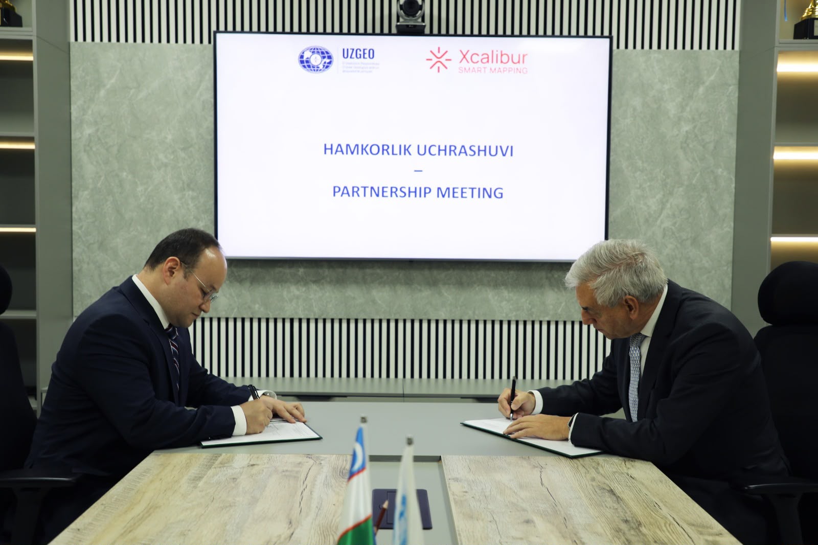
On 2 November 2026, Xcalibur Smart Mapping announced the launch of a major airborne geophysical mapping programme in Uzbekistan. The work is commissioned by Uzbek Geological Exploration JSC under the National Airborne Geophysics Programme and is scheduled to begin in December 2026.
The programme focuses on the Central Kyzylkum area. New measurements will be combined with existing geological information to refine the understanding of the region’s mineral potential. The project is seen as a first step towards covering all of Uzbekistan with modern, high-resolution airborne geophysical data.
Alimov Shamsiddin Pakhritdinovich, Chairman of the Board, Uzbek Geological Exploration JSC:
“One of the Ministry of Mining and Geology’s key priorities is to accelerate the strengthening, assessment and development of our country’s mineral resource potential in line with international standards and through the application of modern technologies.
Our cooperation with Xcalibur Smart Mapping is an important step in this direction. The agreement provides a foundation for applying advanced airborne geophysical technologies, identifying new prospective areas and planning geological exploration with greater confidence.
We are confident that combining the expertise of our highly qualified geologists with our partner’s technological capabilities will lay a solid foundation for future investment projects.”
The scope includes:
- magnetic, radiometric and iCORUS-iX gravity surveys;
- fixed-wing (TEMPEST™) and helicopter-borne (HeliTEM™) time-domain electromagnetics;
- FALCON™ airborne gravity gradiometry.
Several of these technologies will be used in a regional mapping programme in Central Asia for the first time. Up to 12 aircraft are expected to operate at peak activity.
Beyond data acquisition, the project covers:
- digital data infrastructure;
- remote sensing analysis;
- integration of legacy datasets;
- processing, inversion and interpretation supported by XENAI, Xcalibur’s AI-assisted platform.
AI-based regional prospectivity models will also be applied in Central Asia for the first time. Training and knowledge transfer to local specialists are a core part of the programme.
Andrés Blanco, CEO of Xcalibur Smart Mapping:
“Earth intelligence is about turning knowledge of our planet into better decisions. Through this project, we aim to help Uzbekistan translate its mineral potential into well-founded exploration and investment opportunities. By combining airborne geophysics, remote sensing and advanced analysis and interpretation, we can provide a more comprehensive understanding of the areas surveyed. Equally important is ensuring that this knowledge remains useful over time, through training and the transfer of expertise to the local teams who will build on the project’s results.”
The results will help exploration companies identify prospective areas and plan follow-up work, and will give public institutions a solid evidence base for resource planning and engagement with investors.